Lough Foyle Baseline
1827 · Baseline Measurement · Work 219 of 1,871
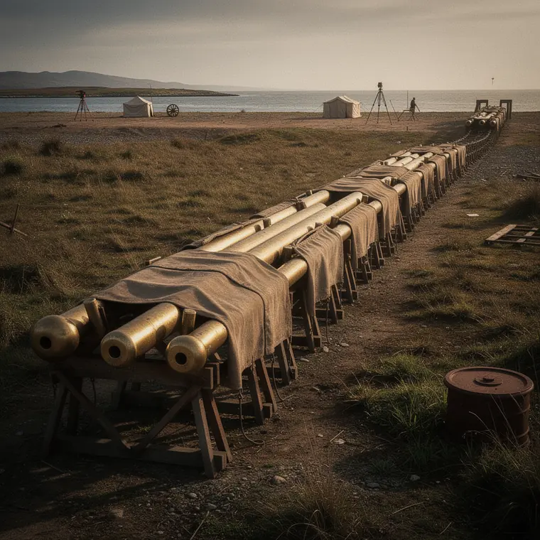
Colby's compensation bars of brass and iron laid end to end on trestles along the Lough Foyle baseline, canvas covers over each bar and survey tents on the shore.
- What it was used for
- The base line was measured for the Ordnance Survey of Ireland under Thomas Colby on the eastern shore of Lough Foyle, from 6 September 1827 to 20 November 1828. The measuring itself took about 60 days; winter breaks and waiting for the harvest took up the rest. The line is 41,640.8873 feet long, just under 8 miles or about 12.7 km. It set the scale of the triangulation over Ireland. That network carried the six-inch-to-the-mile maps, and these served a general valuation of property so that local rates could be shared out more evenly.
- What was new
- Colby designed a compensation bar of brass and iron, about 10 feet between measuring points; several bars were linked by microscopes. Because the two metals expand by different amounts when warmed, the measured length stayed independent of temperature. With plain bars and chains, heat expansion had to be corrected by calculation afterwards. In 1960 the Ordnance Survey of Northern Ireland remeasured the line electronically. The result was only about 1 inch (2.5 cm) above the 1828 value. Yet at the time the base was considered strictly unnecessary, because Irish distances could already be derived from the British measurements; Colby justified it as a base of verification.