The Duisburg Map
1569 · Conformal Sea Chart Projection · Work 763 of 1,871
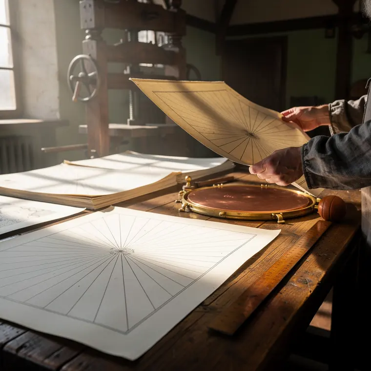
Freshly pressed sheets of a large sea chart of 1569 lying on a long table in a printing workshop in Duisburg, each about forty-five by sixty-five centimetres, seen along the table at a flat angle, the nearest sheet showing only open sea covered with straight fine black lines radiating from a single point and a narrow margin of bare paper, the sheets behind it soft in focus, beside them a bright copper plate face down, a leather ink ball, a plain wooden straightedge, a wooden press behind, daylight from a window on the left, two hands in grey linen sleeves holding a sheet by its edge.
- What it was used for
- Mercator's world map Nova et aucta Orbis Terrae descriptio ad usum navigantium emendate et accomodata appeared in August 1569 in Duisburg, after 30 years of preparatory work, measuring 212 x 134 cm at a scale of about 1:20 million. As its title says, it was made for the use of seafarers rather than for scholars: because the projection is conformal, a compass course - the rhumb line - appears as a straight line and can be taken off directly with ruler and protractor.
- What was new
- What mattered was the grid, not the picture of the world: a kind of cylindrical projection with increasing latitudes, the equator as the true-length contact circle, conformal - which turns the curved course line into a straight segment. The price is built into the design. Distortion grows with distance from the equator: in a modern map on the same projection Germany appears about 3 times its true size and Greenland looks as large as Africa. The projection suits sea navigation and surveys near the equator, and is less suitable for higher latitudes such as Europe and North America; only the transverse cylindrical projections of Johann Heinrich Lambert and Carl Friedrich Gauss later led to UTM.