The Navigator on Cassette
1985 · Dead Reckoning Map Matching · Work 798 of 1,871
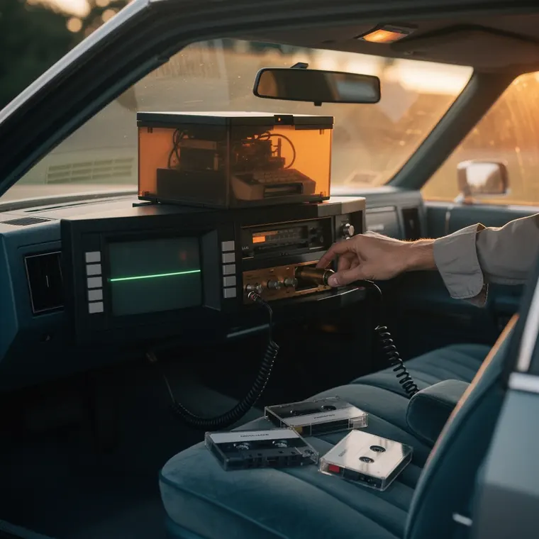
A car navigation display unit of 1985 on the dashboard of an American estate car parked in California at dusk, a black plastic box sixteen centimetres wide with a nearly square small dark screen showing a single faint glowing green line, five small plain keys down each side of the screen, through the open tailgate a smoky brown translucent computer box with a black lid and a cassette slot behind a clear wall, a coiled black cable, on the passenger seat three tape cassettes in clear cases with smooth white inserts, a hand in a rolled shirt sleeve pushing a cassette into the slot, warm evening light through the rear glass.
- What it was used for
- The Etak Navigator, a car navigation system that worked without satellites. Stan Honey describes the installation in his own account: purpose-built wheel sensors with magnetic tape inside the wheel on the 2 non-driven wheels, a flux-gate compass at the rear window, a computer the size of a shoebox in the boot - initially an 8088 running at 4.77 MHz with 128 kB - and a vector display that turned the map to the direction of travel. The maps came on cassettes in polycarbonate shells: 3.5 megabytes per tape, 3 cassettes for the whole San Francisco Bay Area. Benj Edwards gives, in Fast Company of 26 June 2015, $1,395 for the Model 450, $1,595 for the Model 700 and about $35 per cassette.
- What was new
- What was new was the combination of 2 things: map matching, which Honey names as a valuable patent and which continuously fits the measured movement back onto the road network, and the digital road map as a product in its own right - Etak, on Edwards's account, built its own tools to correct distortions in scanned aerial photographs and so digitised faster than by entering landmarks and streets point by point. The barb: Honey estimates sales at 2,000 to 5,000 units. The device stalled, the by-product went on - News Corporation bought Etak in 1989, Sony in 1996, after which it merged into Tele Atlas, later taken over by TomTom. The maps outlived the navigator.